Upper Myagdi-1 Hydropower Project
Notice and Update
Please send an email with your Company profile and the scanned copy of the signed Non-Disclosure Document to [email protected] or call +977 -1 5430135, + 977 -1 5425228 for HM bidding documents(Lot 3: Hydromechanical Works). Click Here for Notice.
Click Here for Non-Disclosure Document.
Salient Features
196.70 m
181.95 m
Design Discharge
(at 40% PoE):
33.60 m3/s
5794 m
315.01 GWh
Project Overview
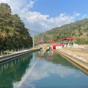
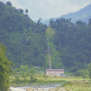
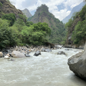
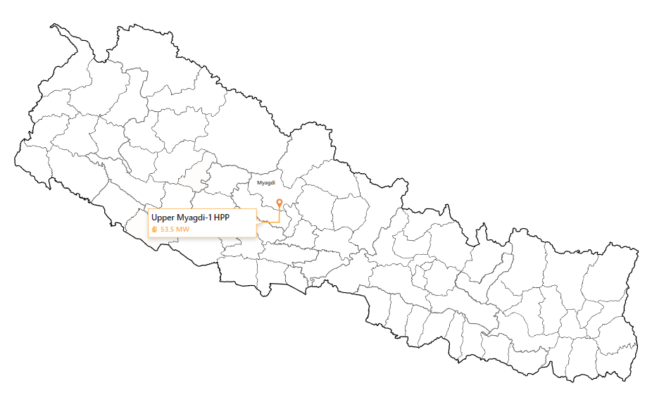
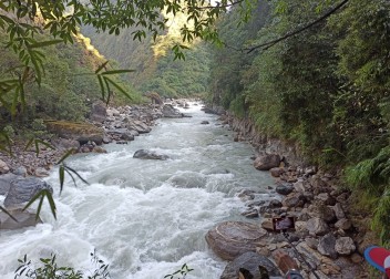
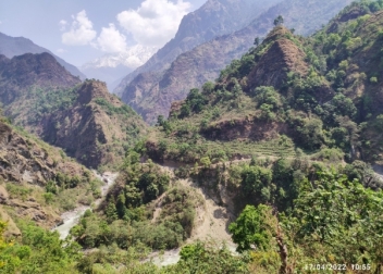
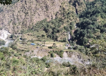
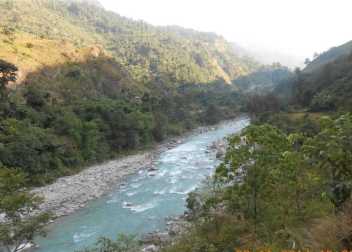
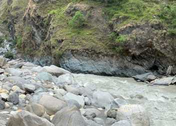
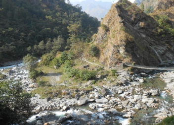
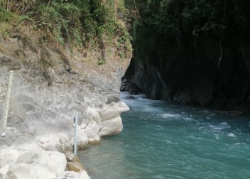
Located at a distance of 320 Km North-West of Kathmandu, the Upper Myagdi-1 Hydropower Project (UM-1HPP) with an installed capacity of 53.5 MW is a Run-of-River (ROR) type of project. The project proposed in the Dhaulagiri and Malika Rural Municipalities of Myagdi District, Gandaki Province, Nepal is sited on the Myagdi Khola (River). The headworks is proposed at Khamla, 200m downstream of the confluence of the Myagdi & Mudi Rivers, and the powerhouse is proposed 350m upstream of the confluence of the Marang & Myagdi Rivers. The project lies in between the elevations of 1367.80 m and 1171.5 m above mean sea level.
Project Developed By
Progress Updates

Slope Excavation for Settling Basin and HRT Inlet portal ongoing

Slope Excavation for Intake near completion

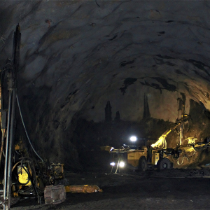
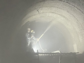
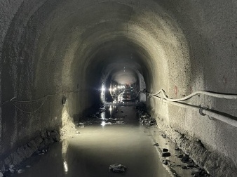
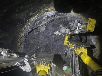
HRT Tunnel excavation ongoing

Adit Tunnel excavation completed

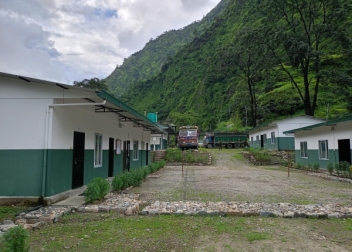
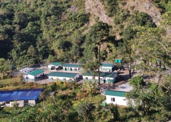
Construction of employer’s intial camp completed

Construction of army barrack and bunker completed

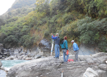
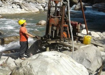
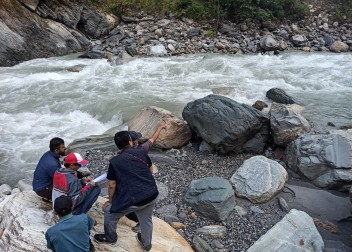
Geotechnical Investigation Works completed

Updated feasibility study of the project for RoR scheme completed

Access road up to project powerhouse and Headworks completed

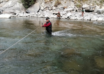
Geophysical Investigation Works completed

Generation License obtained

Environmental Impact Assessment (EIA) of Hydropower Project Area approval obtained


